SEARCH

Project
Infiltration processes in forested karst aquifers under changing environment - ForKarst
Project Duration: 1 July 2019–30 June 2023
Project Leader: Nataša Ravbar, PhD
ARIS Project ID: J2-1749 (C)

News
6th Regional Scientific Meeting on Quaternary Geology: Seas, Lakes and Rivers
September 27-30, 2021
SEP 20, 2021
Publication
A Biographical BibliographyExplorers, Scientists & Visitors In the World's Karst 852 BC to the Present
Year: 2020
Authors: Christine Ballinger, Trevor Shaw
Authors: Christine Ballinger, Trevor Shaw

Project
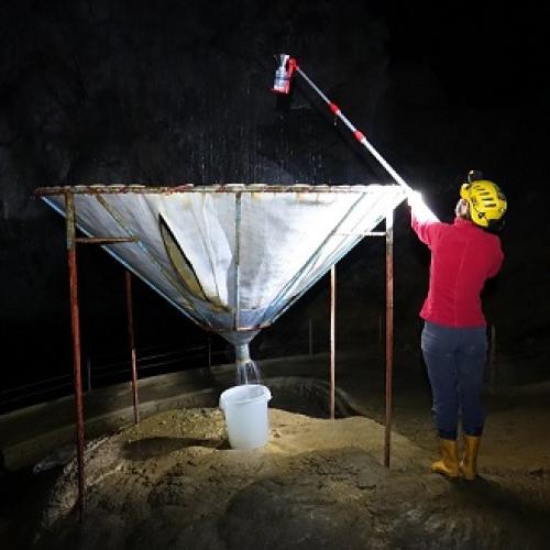
Methodology for monitoring the sustainable use of karst show caves with automatic measurements – role model – Postojna cave
Project Duration: 1 July 2018–30 June 2021
ARIS Project ID: L6-9397