SEARCH

News
32ⁿᵈ INTERNATIONAL KARSTOLOGICAL SCHOOL “CLASSICAL KARST”
The deadline for Abstract Submission has been extended to April 30, 2025
APR 24, 2025
Project
eLTER Preparatory Phase Project
Project Duration: 1 February 2020–31 January 2025
Project Leader: Prof. dr. Tanja Pipan (576)
ARIS Project ID: H2020-eLTER PPP-227078


News
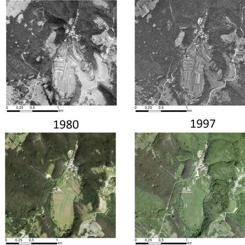
New publication in Land Degradation and Development
Multi-decadal Changes in Vegetation and Land Use Inferred from Different Data Sources: Two Case Studies at the Regional Scale in the Slovenian Karst
SEP 3, 2024
Project
EPOS ON
Project Duration: 1 September 2024–1 September 2027
ARIS Project ID: 101131592 (HORIZON-INFRA-2023-DEV-01-03)
Project
TRANSFORM 2
Project Duration: 1 December 2024–31 December 2027
ARIS Project ID: 101188365 (HORIZON-INFRA-2024-DEV-01)